Commercial Drone Mapping & Inspection Services
Photogrammetry · 3D Orthomosaics · CAD Ready Deliverables · Thermal Roof Inspections · Construction Progress Documentation
Trusted By Engineering Teams, Contractors & Asset Owners

Commercial Drone Services
From survey-grade 3D mapping to thermal inspections and aerial photography — professional aerial capability for every project.

Commercial Drone Photography & Video
High-resolution aerial photography and video for commercial real estate, construction, and industrial teams. Showcase assets, attract investors, and document project progress with professional drone imagery.
Read More
Drone Surveying & 3D Mapping
Survey-grade aerial mapping using photogrammetry to generate accurate orthomosaics, point clouds, and GIS-ready deliverables. Reduce field time and improve accuracy for construction and engineering teams.
Read More
Construction Site Mapping & Progress Monitoring
Capture accurate site data, track project progress, and verify contractor work with high-resolution aerial mapping. Reduce delays and improve decision-making throughout the project lifecycle.
Read More
Infrared Thermal Inspections
Thermal imaging for commercial roofs, electrical systems, and industrial assets. Identify leaks, heat loss, and inefficiencies using high-resolution infrared drone inspections.
Read More
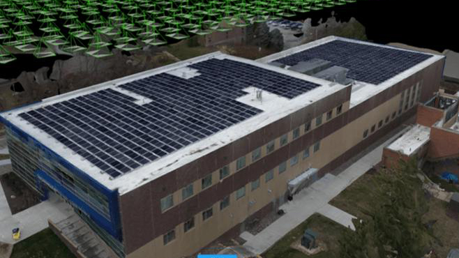
Solar Panel Inspections
Thermal imaging to detect underperforming cells, hotspots, and wiring faults across large solar arrays. Fast, accurate reports delivered within 48 hours.
Read More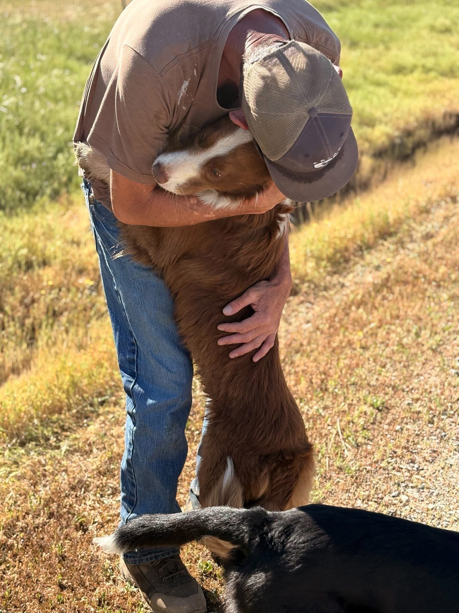
Pet Search & Rescue
Thermal and low-light aerial search operations for missing pets and animals. Covering large areas quickly with precision infrared imaging when every minute counts.
Read MoreFAA-Approved
Plus waivers to fly most anywhere
Decision-Grade Data
We don't just fly — we deliver results
Certified Pilots
Mapping · Inspections · Measurable Results
Same-Day Available
Content services available on request
For Construction, Energy & Industrial Projects
Our drone services deliver high-resolution aerial videography and photography for construction, energy, and industrial projects across the Southeast US. We capture detailed footage that provides a clear, scalable view of complex job sites, equipment, and infrastructure.
Our FAA-certified drone pilots specialize in filming high-value industrial environments — supporting project documentation, marketing, and operational visibility.
- Crane lifts and heavy rigging operations
- Pipeline routing, inspection, and GPS corridor mapping
- Construction progress monitoring and site updates
- Manufacturing facility tours and process documentation

Talk to a Pilot or Project Specialist Now
We typically respond within 30 minutes during business hours — or call now for an immediate quote.
What Our Clients Say
"Brown's Aerial gave us weekly progress documentation that our project owner loved. The orthomosaic maps were accurate enough to catch a grading discrepancy before it became a costly problem."
Project Manager
Commercial Construction
"The thermal roof inspection report was incredibly detailed. We identified three moisture intrusion zones we had no idea existed. Saved us from a major repair bill down the road."
Facilities Director
Commercial Property Management
"We contracted them for a full solar array inspection across two sites. The thermal imaging identified underperforming panels quickly and the report was ready within 48 hours."
Operations Manager
Solar Energy Company