
Areas We Serve
NW Georgia Drone Services
Local drone expertise for Northwest Georgia — based in Cartersville, serving Bartow, Floyd, Gordon, Whitfield, and surrounding counties.
Our Home Territory
Northwest Georgia's Drone Experts
Brown's Aerial Photography is headquartered in Cartersville, GA — right in the heart of Northwest Georgia. We know this region, its industries, and its terrain. From the carpet mills of Dalton to the manufacturing corridors of Rome and the growing developments of Calhoun, we're your local aerial data partner.
What We Offer
Drone Services in NW Georgia

Aerial Photography & Video
Stunning aerial imagery and video for real estate listings, business marketing, and event coverage across Northwest Georgia. From Cartersville to Rome, Dalton to Calhoun — we know this region and deliver results.
Learn More
Construction Progress Documentation
Aerial progress documentation for NW Georgia construction projects — residential developments, commercial builds, and industrial facilities. Timestamped records that keep projects on track and stakeholders informed.
Learn More
Thermal Roof Inspections
Commercial and industrial roof inspections using thermal infrared imaging. We serve manufacturing facilities, warehouses, and commercial properties throughout Bartow, Floyd, Gordon, and surrounding counties.
Learn More
Drone Surveying & 3D Mapping
Survey-grade aerial mapping for NW Georgia land development, mining operations, and infrastructure projects. Accurate orthomosaics, elevation models, and 3D deliverables — faster than traditional survey methods.
Learn More
Solar Panel Inspections
Thermal drone inspections for solar installations across Northwest Georgia. Hotspot detection, fault identification, and detailed reports delivered within 48 hours.
Learn More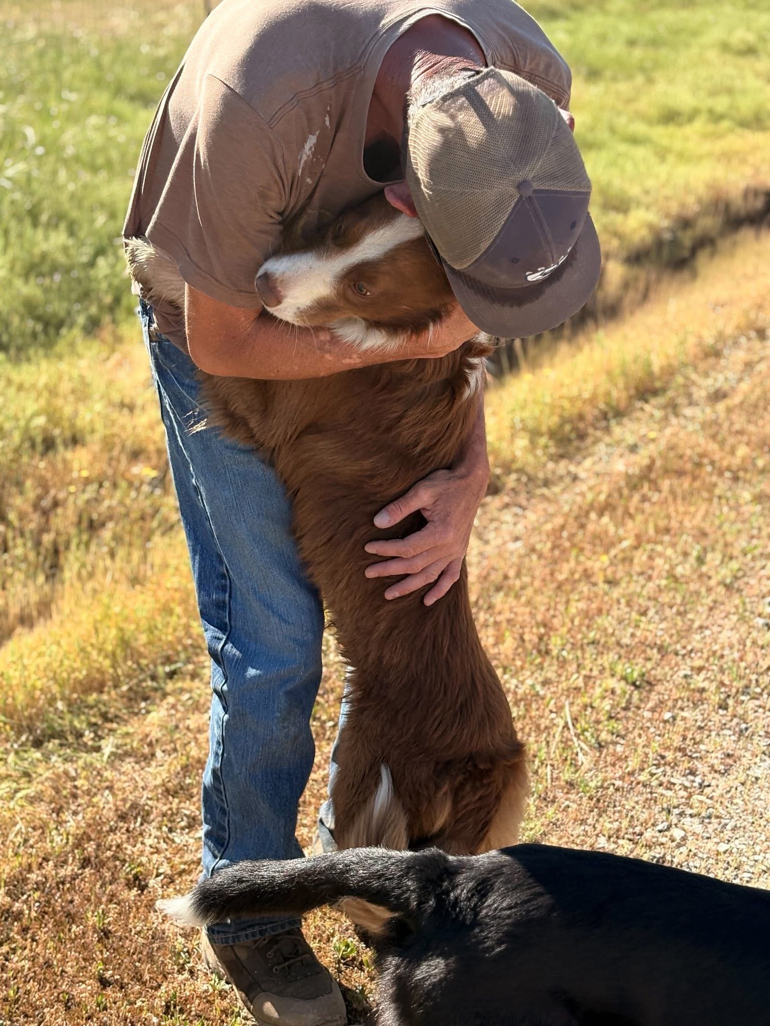
Pet Search & Rescue
Thermal drone search operations for lost pets throughout Northwest Georgia. Our home base in Cartersville means fast response times for Bartow County and surrounding areas.
Learn MoreGet Started
NW Georgia, Are You Ready to Get Started?
We're based right here in Cartersville — fast response times and local knowledge you can count on. Submit a request or give us a call.